between the Tejo and the bank the city forgot
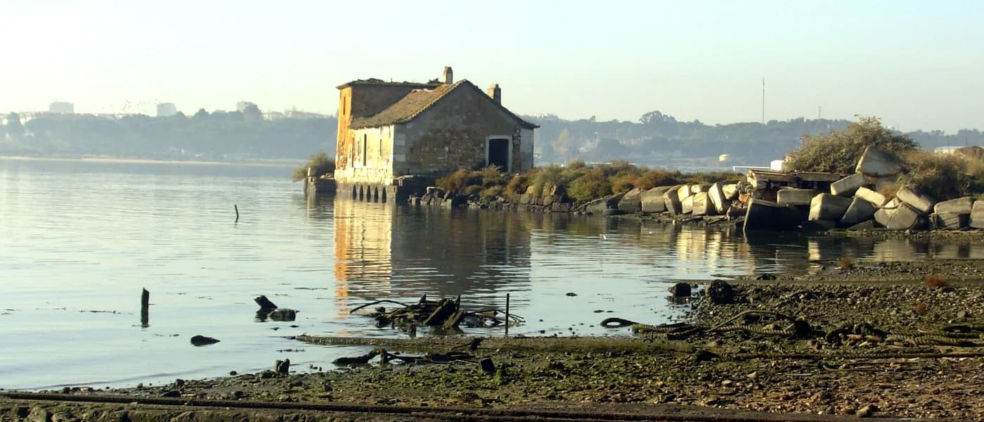
It's at the end of a peninsula that pushes into the Tejo estuary, with water on both sides and Lisboa in sight across the river. Praia Fluvial da Ponta dos Corvos isn't a beach hidden in a mountain valley: it's a tongue of sand with the estuary in front and the visual weight of the capital right there, less than ten kilometres away in a straight line.
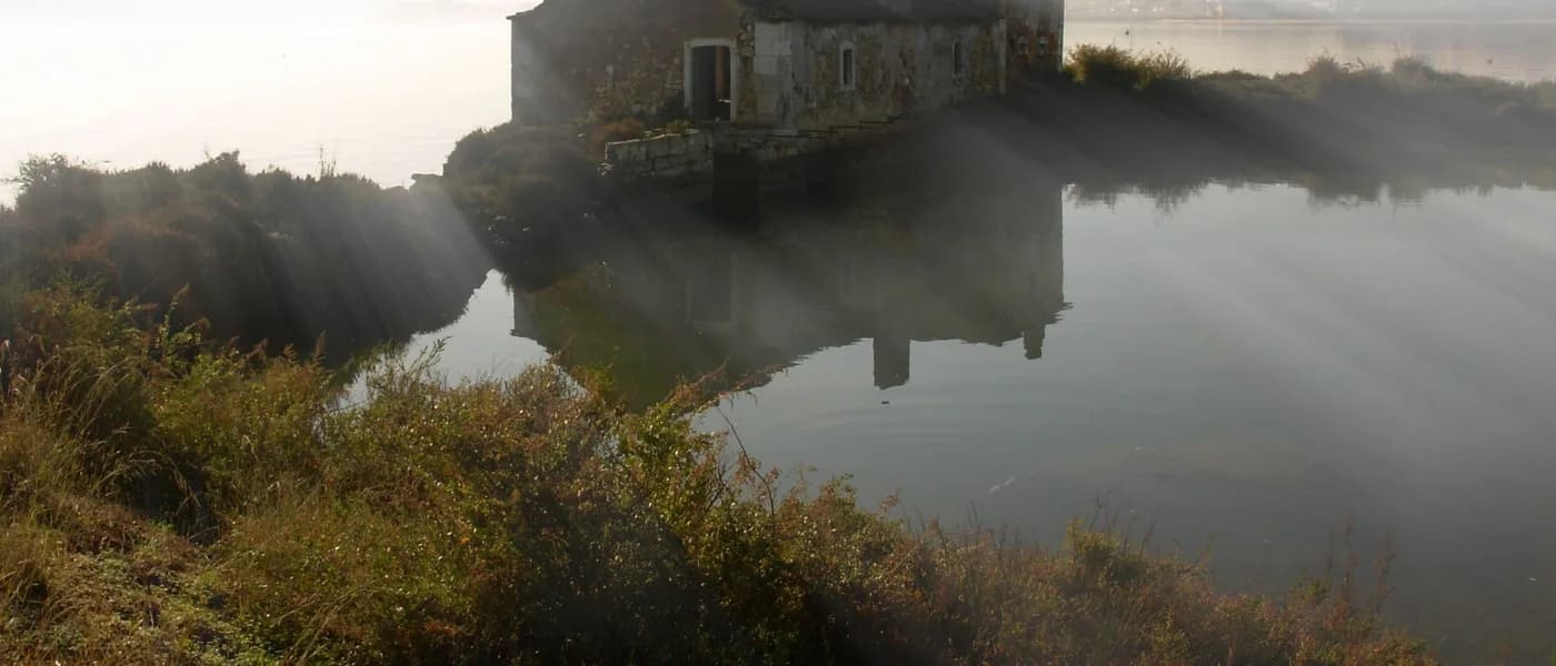
The geographic context is everything here. The peninsula belongs to the Eco-Reserva Natural do Estuário do Tejo, and it shows: the landscape around hasn't been tamed. Salt marsh, wading birds, the smell of slime and brackish water. You arrive by a road that crosses this territory before you reach the sand, and that transition is already part of the experience.
The view of Lisboa is the detail no other river beach on the south bank has with this clarity and this angle. It's not a vague backdrop: it's the Arrábida and the Serra de Sintra at the edges, and in the centre the profile of the city you know from the inside, now seen from the outside.
You go for a swim and end up understanding better where Lisboa is, where the water that bathes the city comes from, and how the estuary works like a fold in the territory. That you don't learn in a museum.
what you'll find
- the most direct view of Lisboa from a south-bank river beach
- a nature-reserve setting before and after the sand
- salt marsh and birds around, not just somewhere else
- sand with the open estuary in front, not wedged between banks