the menhir-shaped rock with a view over the caniçada
The Miradouro da Boneca sits at 750 metres altitude, in the parish of Vilar da Veiga, inside the Parque Nacional Peneda-Gerês, in the municipality of Terras de Bouro. It owes its name to a menhir-shaped rock that stands out on the plateau, which locals have always identified as a boneca (a doll). From there, one of the most complete views of the lower serra opens up: the valley of the river Gerês at your feet, the Caniçada reservoir ahead with its three river beaches (Albufeira, México and Alqueirão) and the bridges of Rio Caldo, and further away the Cávado valley opening up to the west. On clear days you can see almost as far as Braga.
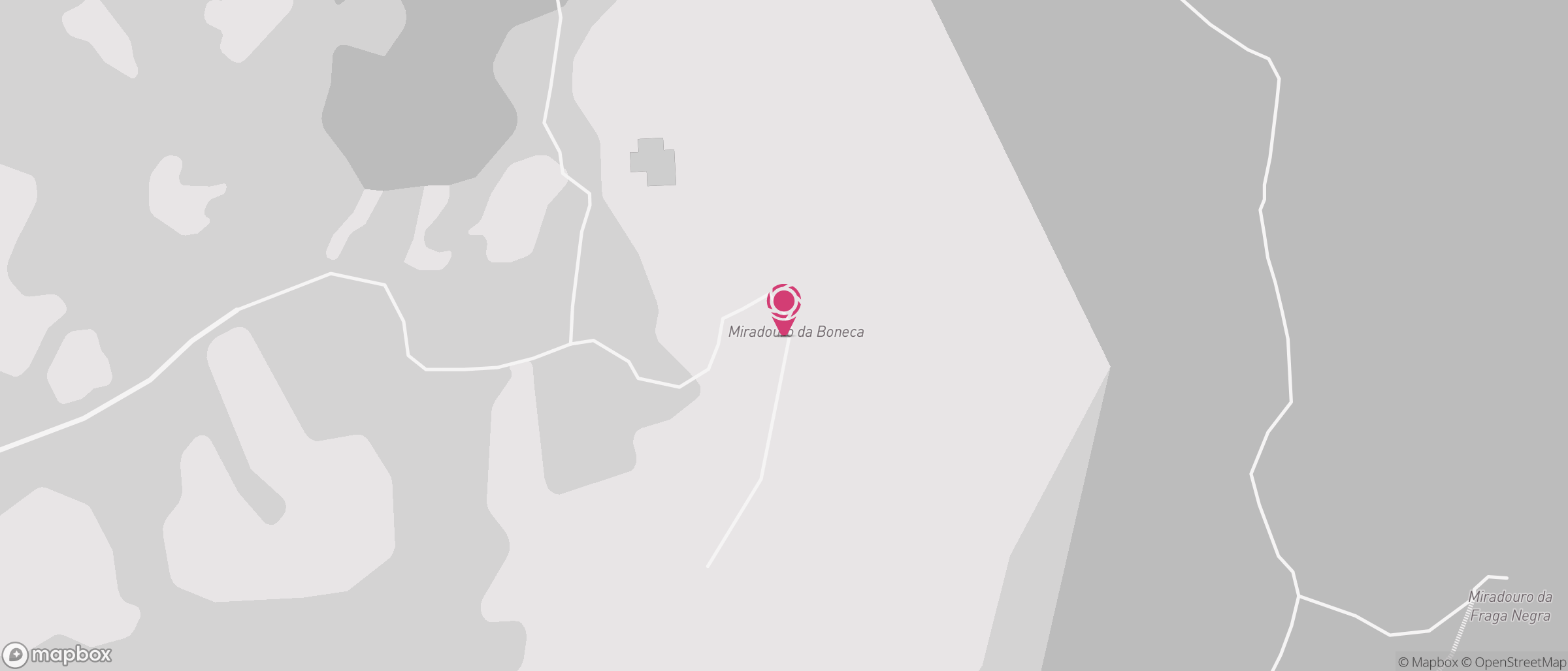
The viewpoint is part of the PR6, the Trilho dos Miradouros, with four observation points aligned on the western slopes of Vila do Gerês: the Junceda at the highest point at 915 metres, the Boneca at mid-slope, the Fraga Negra and the Penedo da Freira at the edge of the town. All four were built by the former Forestry Services, making use of the granite hilltops that dot the landscape as natural observatories. Together they add up to a demanding walking route, with significant changes in elevation to tackle.
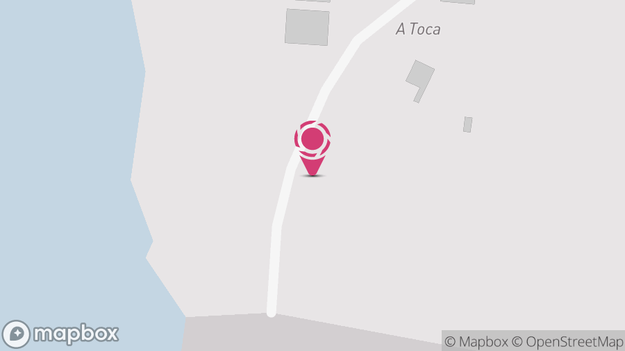
Access to the viewpoint is via a dirt track around 1.5 km long, from the Lamas area, at the junction with the M-533 road connecting Campo do Gerês to Vila do Gerês. The last 100 metres to the plateau may not be signposted, depending on current maintenance. Go with proper footwear.
It's a viewpoint with less footfall than other spots in the Gerês, which makes it particularly appealing if you're after silence and horizon. Late in the afternoon, with the low light catching the reservoir ahead, you've got one of the most recognisable landscapes in the national park and you'll rarely find it crowded. In summer the serra dries out, and the view loses depth when there's fog or haze. Spring and autumn are the best times: the vegetation still green, the air clean, and the temperature mild enough to walk.
the whole scene
- viewpoint at 750 m altitude on the slope above the Gerês valley
- views over the Caniçada reservoir, the Rio Caldo bridges and the Cávado
- name comes from a menhir-shaped rock near the plateau
- part of the PR6 Trilho dos Miradouros, with three more points on the slope
- access via a 1.5 km dirt track from the M-533